
Regency / city profile · public data
Mining permits and environmental impact in Asahan Regency
· Illustrative sample figures; live figures are on the map.
Data incomplete, this page is not indexed yet.
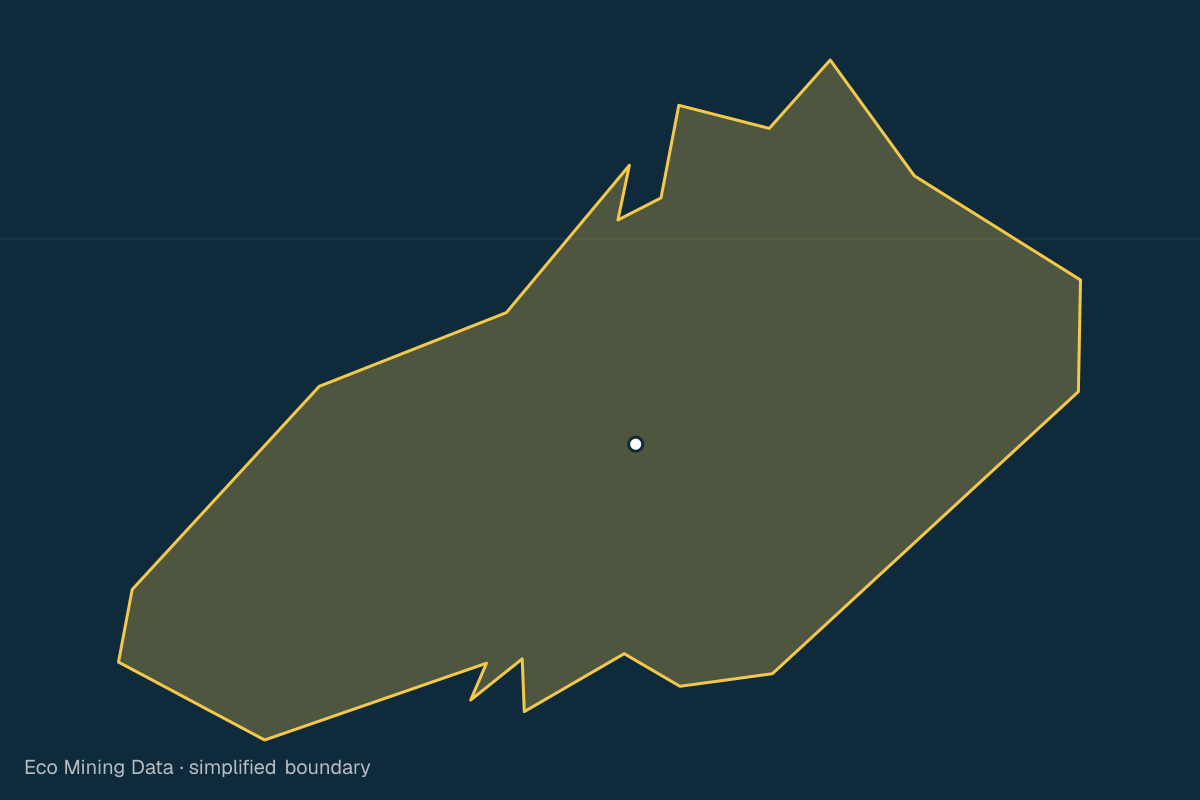
Asahan Regency lies in Sumatera Utara and covers about 3,842 km². Data on mining permits and affected areas for this area is still being collected. This page will be completed once ESDM data and satellite imagery are processed.
Mining permits
0
active IUP/IUPK/IPR
Source: ESDM MODI / Geoportal ESDM ·
Affected area
0ha
land opened or damaged by mining
Source: Cheng et al. 2026 + Maus et al. 2022 ·
Forest loss
3,989ha
latest year (2025)
Source: Hansen/GFW 2025 v1.12 ·
Bulletins
0
published & reviewed
Source: ESMI ·
Affected areas cover pollution and physical damage to land, from licensed and unlicensed mining alike.
Forest loss per year
| Year | ha |
|---|---|
| 2021 | 4,605 |
| 2022 | 1,828 |
| 2023 | 2,994 |
| 2024 | 5,563 |
| 2025 | 3,989 |
Source: Hansen/GFW 2025 v1.12 · Updated 22 Oct 2026
Administrative area
3,842 km²
Source: BPS/OCHA COD-AB administrative boundaries (2020), simplified · Ministry of Home Affairs code 12.09
Province: Sumatera Utara
Other regencies and cities in Sumatera Utara
- Tapanuli Tengah Regency
- Tapanuli Utara Regency
- Tapanuli Selatan Regency
- Nias Regency
- Langkat Regency
- Karo Regency
- Deli Serdang Regency
- Simalungun Regency
- Labuhanbatu Regency
- Dairi Regency
- Toba Regency
- Mandailing Natal Regency
- Nias Selatan Regency
- Pakpak Bharat Regency
- Humbang Hasundutan Regency
- Samosir Regency
- Serdang Bedagai Regency
- Batu Bara Regency
- Padang Lawas Utara Regency
- Padang Lawas Regency
- Labuhanbatu Selatan Regency
- Labuhanbatu Utara Regency
- Nias Utara Regency
- Nias Barat Regency
- Medan City
- Pematangsiantar City
- Sibolga City
- Tanjungbalai City
- Binjai City
- Tebing Tinggi City
- Padangsidimpuan City
- Gunungsitoli City
Available with a free account
These details are visible after signing in. Only the type and count are shown here.
Create free account