
Mining permits and environmental impact in Lampung
Lampung (capital Bandar Lampung) has 67 registered mining permits, mainly stone & sand, quartz sand. The mapped area opened and affected by mining covers 104 ha. In 2025, 13,652 ha of tree cover was lost. No environmental bulletins have been published for this province yet.
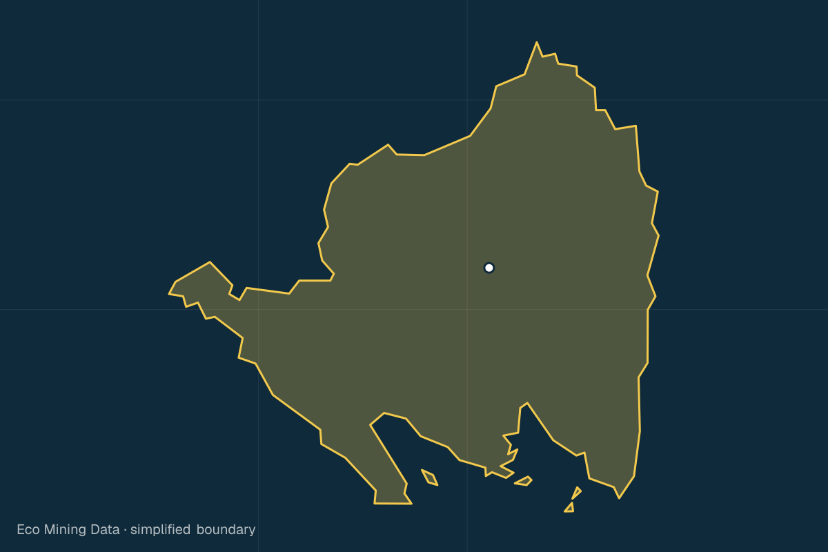
Affected areas cover pollution and physical damage to land, from licensed and unlicensed mining alike.
Permits by commodity
| Commodity | Permits |
|---|---|
| stone & sand | 39 |
| quartz sand | 11 |
| kuarsit | 5 |
| feldspar | 5 |
| limestone | 3 |
| gold | 2 |
| other | 2 |
Source: ESDM MODI / Geoportal ESDM · Updated 24 Oct 2026
Forest loss per year
| Year | ha |
|---|---|
| 2016 | 16,344 |
| 2017 | 11,856 |
| 2018 | 10,412 |
| 2019 | 13,267 |
| 2020 | 9,557 |
| 2021 | 7,662 |
| 2022 | 7,059 |
| 2023 | 21,743 |
| 2024 | 13,048 |
| 2025 | 13,652 |
Source: Hansen/UMD Global Forest Change (v1.13) · Updated 24 Oct 2026
SDG status
No data yet
Permits by status
A WIUP is an area set aside for permits, not yet a permit. A WPR is a zone for small-scale community mining. Only "active" counts as a permit in the key figures.
Source: ESDM MODI / Geoportal ESDM · Updated 24 Oct 2026
More about this province
- About 53.4 % of the land is forest (tree canopy of at least 30 %, year 2000).
- 9 of 15 regencies and cities have 3 or more active permits.
Source: Hansen/UMD Global Forest Change (v1.13) · Updated 24 Oct 2026
Regencies and cities in Lampung
Pick a regency or city to see mining permits and affected areas at local level.
- Lampung Selatan Regency · 12 permits
- Lampung Tengah Regency · 9 permits
- Lampung Utara Regency · 3 permits
- Lampung Barat Regency
- Tulang Bawang Regency · 7 permits
- Tanggamus Regency · 4 permits
- Lampung Timur Regency · 7 permits
- Way Kanan Regency · 7 permits
- Pesawaran Regency · 6 permits
- Pringsewu Regency · 7 permits
- Mesuji Regency
- Tulang Bawang Barat Regency
- Pesisir Barat Regency
- Bandar Lampung City
- Metro City
Available with a free account
These details are visible after signing in. Only the type and count are shown here.
- Permit holders63 Locked
- Environmental alerts13 Locked
- Impact assessments0 Locked