
Regency / city profile · public data
Mining permits and environmental impact in Mojokerto City
Data incomplete, this page is not indexed yet.
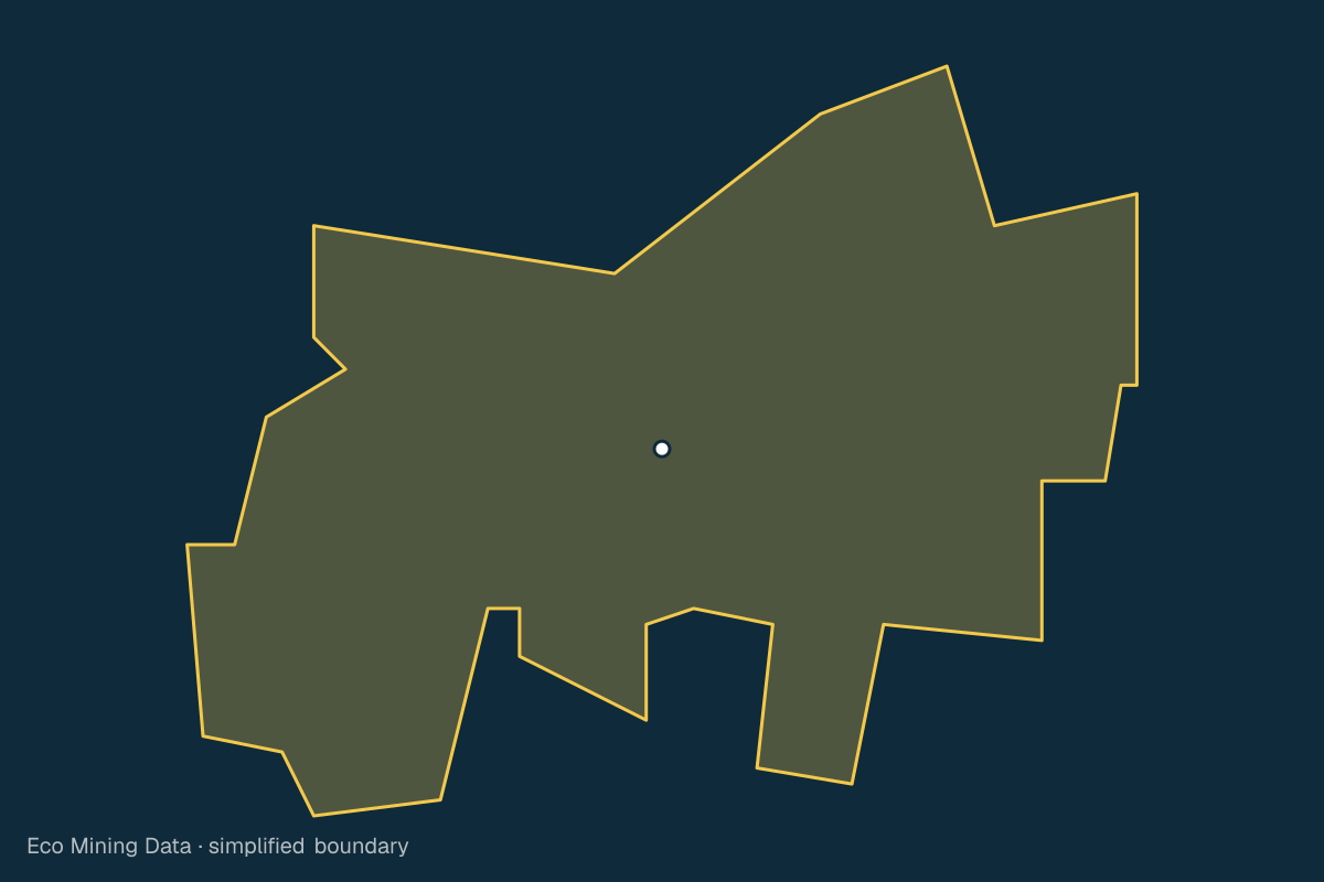
Mojokerto City lies in Jawa Timur and covers about 20 km². Data on mining permits and affected areas for this area is still being collected. This page will be completed once ESDM data and satellite imagery are processed.
Mining permits
—
No data yet
Source: ESDM MODI / Geoportal ESDM ·
Affected area
—
No data yet
Source: Cheng et al. 2026 + Maus et al. 2022 ·
Forest loss
—
No data yet
Source: Hansen/GFW 2025 v1.12 ·
Bulletins
—
No data yet
Source: ESMI ·
Affected areas cover pollution and physical damage to land, from licensed and unlicensed mining alike.
Administrative area
20 km²
Source: BPS/OCHA COD-AB administrative boundaries (2020), simplified · Ministry of Home Affairs code 35.76
Province: Jawa Timur
Other regencies and cities in Jawa Timur
- Pacitan Regency
- Ponorogo Regency
- Trenggalek Regency
- Tulungagung Regency
- Blitar Regency
- Kediri Regency
- Malang Regency
- Lumajang Regency
- Jember Regency
- Banyuwangi Regency
- Bondowoso Regency
- Situbondo Regency
- Probolinggo Regency
- Pasuruan Regency
- Sidoarjo Regency
- Mojokerto Regency
- Jombang Regency
- Nganjuk Regency
- Madiun Regency
- Magetan Regency
- Ngawi Regency
- Bojonegoro Regency
- Tuban Regency
- Lamongan Regency
- Gresik Regency
- Bangkalan Regency
- Sampang Regency
- Pamekasan Regency
- Sumenep Regency
- Kediri City
- Blitar City
- Malang City
- Probolinggo City
- Pasuruan City
- Madiun City
- Surabaya City
- Batu City
Available with a free account
These details are visible after signing in. Only the type and count are shown here.
Create free account