
Mining permits and environmental impact in Aceh Tamiang Regency
· Illustrative sample figures; live figures are on the map.
Data incomplete, this page is not indexed yet.
Aceh Tamiang Regency lies in Aceh and covers about 2,143 km². Data on mining permits and affected areas for this area is still being collected. This page will be completed once ESDM data and satellite imagery are processed.
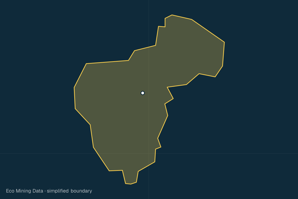
Affected areas cover pollution and physical damage to land, from licensed and unlicensed mining alike.
Permits by commodity
| Commodity | Permits |
|---|---|
| limestone | 1 |
| batu lempung | 1 |
Source: ESDM MODI / Geoportal ESDM · Updated 22 Oct 2026
Forest loss per year
| Year | ha |
|---|---|
| 2021 | 2,175 |
| 2022 | 1,658 |
| 2023 | 3,788 |
| 2024 | 3,617 |
| 2025 | 1,956 |
Source: Hansen/GFW 2025 v1.12 · Updated 22 Oct 2026
Administrative area
2,143 km²
Source: BPS/OCHA COD-AB administrative boundaries (2020), simplified · Ministry of Home Affairs code 11.16
Province: Aceh
Other regencies and cities in Aceh
- Aceh Selatan Regency
- Aceh Tenggara Regency
- Aceh Timur Regency
- Aceh Tengah Regency
- Aceh Barat Regency
- Aceh Besar Regency
- Pidie Regency
- Aceh Utara Regency
- Simeulue Regency
- Aceh Singkil Regency
- Bireuen Regency
- Aceh Barat Daya Regency
- Gayo Lues Regency
- Aceh Jaya Regency
- Nagan Raya Regency
- Bener Meriah Regency
- Pidie Jaya Regency
- Banda Aceh City
- Sabang City
- Lhokseumawe City
- Langsa City
- Subulussalam City
Available with a free account
These details are visible after signing in. Only the type and count are shown here.
Create free account